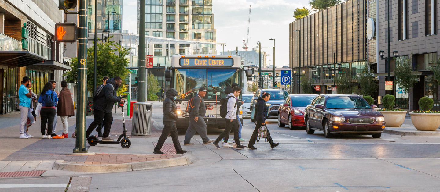
Providing Convenient Bus and Rail Service to the Denver Metro Area
RTD’s downtown light rail reconstruction project
May 2024
After more than 30 years, RTD is investing in its oldest rail infrastructure to ensure the long-term integrity of the network. The near-term work will occur in four phases, with the first phase commencing in May 2024, focusing on five segments of track at street intersections in the Downtown Loop. Phases two through four of the approximately $152 million-dollar, full-depth reconstruction project will occur in 2025.
Learn MoreEvents


News Stop

3 Things to Know 5.17.2024
1. Colfax Marathon to detour some services 2. Major changes to a Longmont bus terminal 3. Respect the Ride helps keep things classy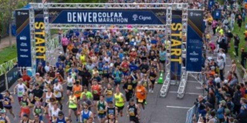
Colfax Marathon to cause temporary detours, delays for RTD bus, light rail routes
RTD will temporarily relocate bus stops from Coffman to Bross streets in Longmont
Software upgrade planned Thursday, May 16 for emergency telephones at RTD A, B and G rail stations

3 Things to Know 5.10.2024
1. Driving to success: RTD bolsters bus operator training 2. Bus shuttle service in place May 14-16 for E and H lines 3. RTD hosting bus wrap art design contest through May 24 to commemorate the Civil Rights Act of 1964
Driving toward success: RTD bus operator training extended to 12-weeks
★ ★ ★ ★ ★ Hiring veterans like you.
Some positions eligible for $4,000 signing bonus.
RTD values the service and skills developed during your military experience. Qualities like determination, team building, leadership and confidence will allow you to make a difference in your community as a member of our team.
Apply Now